By Choekyi Lhamo
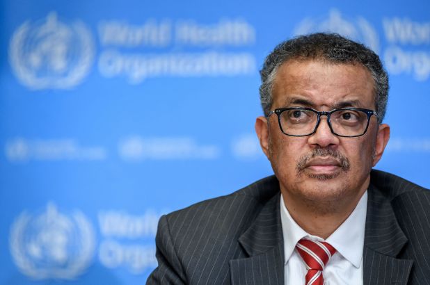
DHARAMSHALA,APR 29: A World Health Organization (WHO) map has shown parts of India’s Ladakh and Jammu & Kashmir (J&K) as Chinese territory on their website. A part of Ladakh (Aksai Chin) has been shown as Chinese territory accompanied with a dotted line and colour code, and J&K and the rest of India have also been depicted in different colours, reported the Economic Times.
“The map of India depicted by WHO differs from the standard depiction even of theUnited Nations itself, by not showing parts of J&K which are under actual control of India as a part of our country,” said Gautam Bambawale, India’s former envoy to China, Pakistan and Bhutan. “WHO’s depiction of J&K with a different colour wash from that of India is strange, incorrect and surprising,”he told ET.
Pakistan occupied Kashmir (PoK) is marked with a dotted line on the website which suggests a “disputed territory”. Though Kashmir is earmarked as “disputed” on many UN maps, this is one of the firsts attempt to show J&K and Ladakh in different colours than the rest of India. Indian authorities have already raised concerns over the false depiction with UN authorities and are waiting for a response.
Last week, it was reported that parts of Arunachal Pradesh have been included in Chinese territory according to an updated version by the Sky Map, an authority on digital maps in China. The map of China before the update was based on the 1989 edition of the Sky Map where China had already resolved its border issues with Russia and Central Asian countries. China continues to consider Arunachal Pradesh as part of “South Tibet”.
Last year in November, India and China engaged in harsh exchanges over India’s move to abrogate Article 370 which led to the creation of two new Union Territories, J&K and Ladakh. Chinese foreign ministry spokesperson Geng Shuang strongly condemned the move, “China deplores and firmly opposes that. India unilaterally changed its domestic laws and administrative division challenging China’s sovereignty.”
WHO was recently accused of delaying information on the pandemic as the organisation hastily applauded China for its “effective measures” as conditions worsened worldwide. On Apr. 15, the US President Donald Trump announced withdrawal of funds from WHO. The US contributed $400m in 2019 which accounts for 15% of the organisation’s total budget. Although the move was strongly criticised, President Trump cited WHO’s association with China as one of its main reasons.





One Response
Where Is the map? If u could possibly show us the map which you claimed that WHO map representing China’s aggression over the centuries-belonged territory of great India. People will feel another angle of truth. Thanks